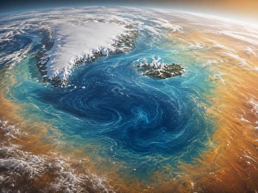
El Niño is strengthening across the tropical Pacific, and its effects could reach far beyond the region. Sea temperatures in key areas are now more than 1°C above average, while NOAA’s Niño-3.4 index has reached about +1.2°C.
NOAA expects El Niño to intensify through late 2026, with a 97% chance it will continue into early spring 2027 and an 81% chance of becoming very strong between October and December.
While impacts vary by location, a stronger event can raise the risk of drought, flooding, heatwaves, heavy rain, and other unusual weather worldwide.
What El Niño Actually Is?
El Niño is more than unusually warm ocean water. It is part of ENSO, a natural climate pattern linking the tropical Pacific Ocean with the atmosphere above it.
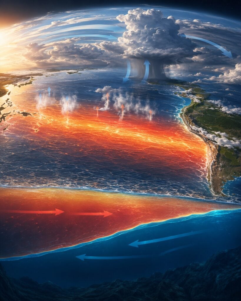
During El Niño, trade winds weaken, allowing warm water to spread toward the central and eastern Pacific. This shifts rainfall, air pressure, and atmospheric circulation, influencing temperatures and weather patterns worldwide.
I think of the tropical Pacific as a powerful engine that can reshape climate far beyond the ocean.
Why a Niño-3.4 Reading of +1.2°C Matters?
Scientists use several regions of the tropical Pacific to monitor El Niño, but Niño-3.4 is one of the most closely watched. It covers part of the central equatorial Pacific, where ocean temperature changes are strongly connected to the atmosphere.
A reading of +1.2°C means the sea surface in that area is around 1.2°C warmer than the expected long-term average.
As the ocean releases more heat and moisture into the atmosphere, it can affect clouds, tropical rainfall, high-altitude winds, and global pressure patterns.
Scientists do not rely on a single temperature reading to declare an El Niño. They also look at whether the atmosphere is responding through changes in trade winds, rainfall, and air pressure.
My personal tip is to avoid judging El Niño by one weekly number alone. The trend, the duration, and the connection between the ocean and atmosphere are all important.
What a Very Strong El Niño Could Mean?
NOAA currently estimates an 81% chance that this El Niño will reach the very strong category during the October to December 2026 period.
A very strong event would place it among the most intense El Niño episodes in records dating back to 1950. A stronger El Niño generally has a greater ability to influence global weather patterns.
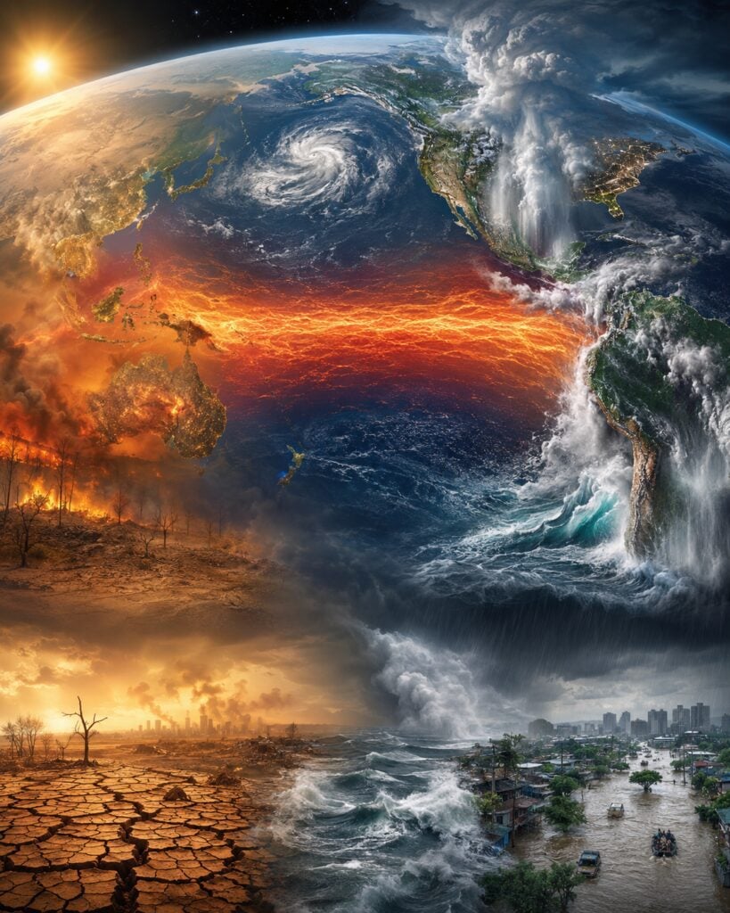
However, strength does not guarantee the same results in every location. Past El Niño events have been associated with wetter conditions in some regions and drought in others.
Some places may experience warmer winters, while others could face cooler or stormier conditions.
Weather patterns are also affected by ocean temperatures outside the tropical Pacific, local geography, seasonal changes, and natural variations in the atmosphere. This is why scientists usually speak in terms of probability.
They may say that El Niño increases the likelihood of a particular outcome rather than promising that it will happen.
I personally treat seasonal forecasts like an early warning, not an exact daily weather prediction. They help us understand which risks are becoming more likely so that we can prepare before a problem develops.
Flood Risks Could Increase in Some Regions
El Niño often shifts tropical rainfall eastward across the Pacific. This can bring heavier rain to areas that are normally drier while reducing rainfall in other places.
Parts of the southern United States, coastal South America, and other regions may experience wetter-than-average conditions during certain seasons. Heavy rainfall can raise the risk of flash floods, landslides, damaged roads, and overflowing rivers.
The danger can be greater in places where soil is already saturated, forests have been removed, drainage systems are weak, or homes have been built in flood-prone areas.
However, El Niño does not mean flooding will occur everywhere.
Even locations that usually become wetter during El Niño can experience dry periods. My practical tip is to check local forecasts rather than relying only on global El Niño headlines.
People living near rivers, steep slopes, or low-lying areas should know their evacuation routes and keep important documents protected from water.
Drought and Heat Could Worsen Elsewhere
While some areas may receive more rain, others can become significantly drier. Parts of Southeast Asia, Australia, southern Africa, and other tropical regions have historically faced increased drought risk during some El Niño events.
Reduced rainfall can affect farms, reservoirs, hydropower, forests, and drinking-water supplies.
Dry vegetation can also increase the risk of wildfires and dangerous smoke.
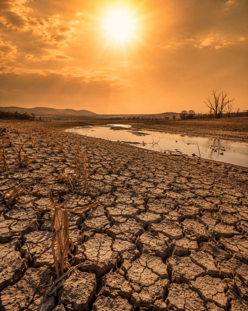
El Niño can contribute to unusually warm global conditions because the Pacific transfers additional stored heat into the atmosphere. This does not mean every day or every location will be hotter, but it can raise the background level on which heatwaves develop.
For farmers, rainfall timing can be just as important as the total amount. A long dry period during planting or flowering can harm crops even if rain returns later.
My personal advice is to begin planning early.
El Niño Can Affect Food Prices and Daily Life
El Niño is a climate event, but its effects can eventually reach grocery stores, energy systems, transportation networks, and household budgets.
Drought can reduce crop yields, while flooding can damage farmland or block roads used to transport food. Warmer ocean conditions may also affect fisheries by changing where fish find food and suitable water temperatures.
When important producing regions experience poor harvests, the price of products such as rice, wheat, coffee, cocoa, sugar, or cooking oil may rise. The exact effect depends on which countries are affected, how long the disruption lasts, and the condition of global supplies.
Hydropower production may also decline in areas with low rainfall, while heatwaves can increase demand for electricity and air conditioning.
Why Forecast Percentages Are Not Guarantees?
A 97% chance that El Niño will continue does not mean scientists know exactly what the weather will be in March 2027. It means the climate models and current observations strongly favor El Niño remaining active through that period.
Similarly, the 81% chance of a very strong event does not guarantee that every typical El Niño impact will happen. Even NOAA emphasizes that the strongest events do not produce expected conditions everywhere.
A strong El Niño tilts the odds, but local outcomes can still differ from historical patterns.
This distinction matters because dramatic headlines can make climate forecasts sound more certain than they really are.
I find three questions helpful when reading an El Niño forecast: What time period does the forecast cover? Which location is being discussed? Is the source describing a possibility, a probability, or an event that has already happened?
These questions can prevent confusion and help us use the information responsibly.
How Communities Can Prepare Now?
Preparation does not need to begin with expensive equipment or complicated plans. Small steps taken early can reduce stress if extreme weather develops later.
Local governments can inspect drainage systems, review water reserves, update emergency plans, and identify communities that may be especially vulnerable to floods, drought, heat, or wildfire.
Farmers can follow seasonal forecasts and speak with agricultural advisers. Schools and workplaces can review heat safety, emergency communication, and evacuation procedures.
Families can monitor official forecasts, create a basic emergency kit, prepare backup power for essential devices, and make sure everyone knows how to contact one another during a disruption.
My strongest personal tip is to follow local weather agencies in addition to international climate news.
The Coming Months Will Be Important
The tropical Pacific is already warmer than average, the ocean and atmosphere are responding together, and forecasts strongly suggest that El Niño will continue strengthening through the end of 2026.
NOAA’s outlook points to a 97% chance that the event will last into early spring 2027 and an 81% chance that it will become very strong during October to December 2026.
Those figures deserve attention, but they should not create unnecessary fear.
El Niño does not control every storm, drought, flood, or heatwave. It changes the background conditions and makes certain weather patterns more or less likely. For me, that is exactly why monitoring matters.
We may not be able to prevent El Niño, but forecasts give us time to protect crops, strengthen emergency plans, manage water, and help vulnerable communities prepare.
The months ahead could play an important role in weather around the world.
Staying informed and preparing calmly will be far more useful than waiting until extreme conditions arrive.